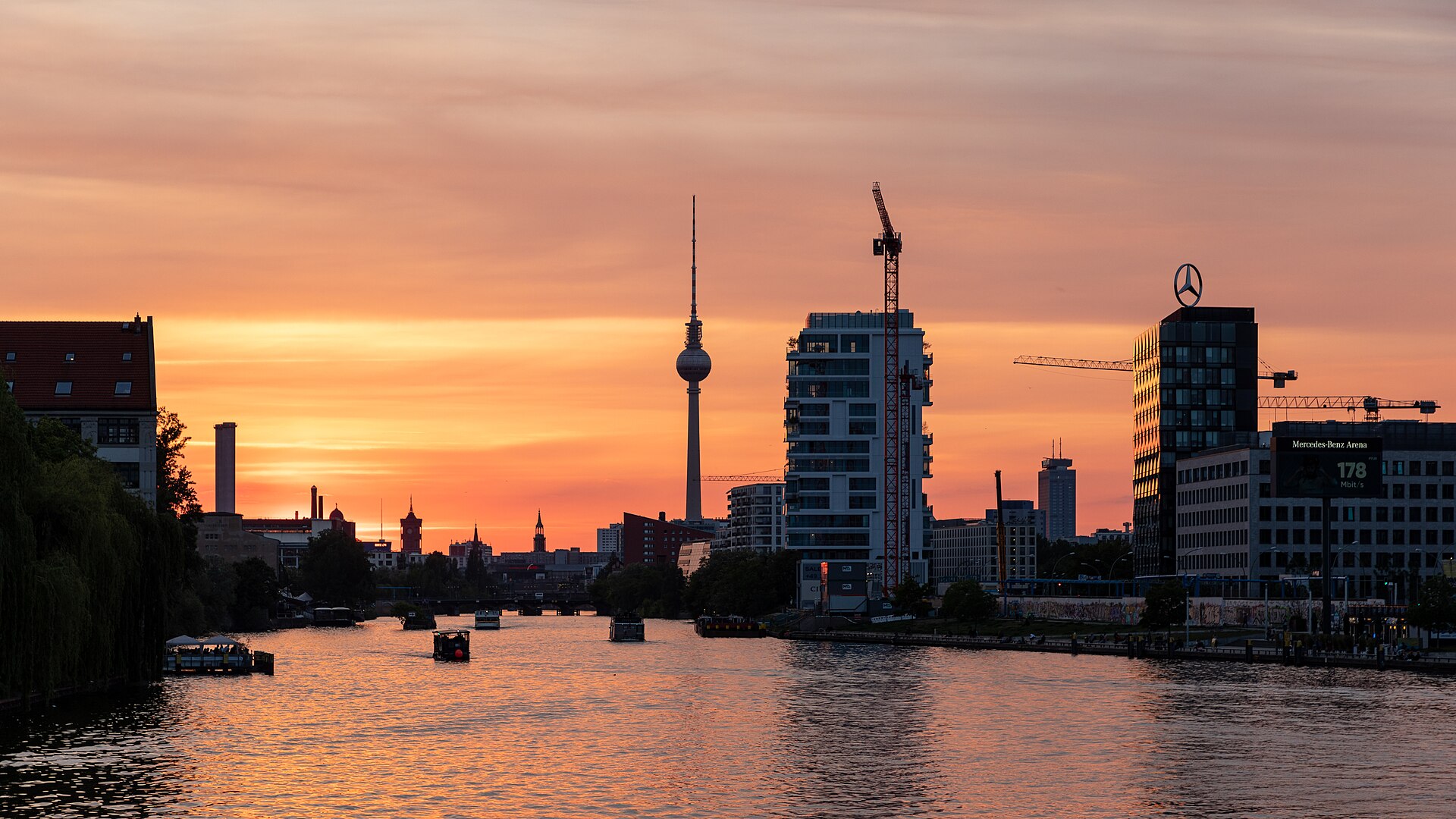
How the Ice Age shaped Berlin: the Urstromtal beneath the city
The oldest layer of the story
Before the abattoir, before the bunkers, before there was a city at all, there was ice. The land Berlin stands on was shaped during the last glacial periods, when vast ice sheets advanced from the north and then melted away, leaving behind the sand, gravel and broad valleys that define the region.
Understanding this deepest layer is what makes the rest of the tour click into place – the hills, the river and even the neighbourhood names start to make sense.
The Berliner Urstromtal
Berlin sits in the Berliner Urstromtal, a wide glacial meltwater valley carved when enormous volumes of water drained westward along the edge of the retreating ice. This is why so much of central Berlin is remarkably flat and why the Spree meanders through it rather than cutting a steep gorge.
The river you see in the city is following a path prepared for it tens of thousands of years ago by the Ice Age drainage system.
Why Prenzlauer Berg and Kreuzberg are “Berg”
Rising above the flat valley floor are the higher ground of the surrounding glacial plateaus. The gentle heights that give Prenzlauer Berg and Kreuzberg their name – Berg means “hill” or “mountain” – are remnants of these Ice Age plateaus, not the work of any city planner.
Once you know this, the topography of Berlin becomes readable. The flat, damp lowland versus the drier, slightly elevated ground directly influenced where the city could build and grow.
Seeing the Ice Age in a modern park
The beauty of ending a hidden-history walk here is the change of scale. After the very human stories of industry, war and the GDR, the Ice Age reminds you that Berlin’s stage was set by forces far older than any of them.
In Volkspark Friedrichshain the contrast is literal: natural glacial ground beneath your feet, and the artificial rubble hill of Mont Klamott built on top of it – nature and history stacked in a single view.
Frequently asked questions
Why is Berlin so flat?
Because the city lies in the Berliner Urstromtal, a broad glacial meltwater valley formed during the Ice Age, which left a wide, level valley floor.
What is the Berliner Urstromtal?
It is the glacial valley through which Ice Age meltwater drained; the Spree still follows this ancient valley today.
Do Prenzlauer Berg and Kreuzberg have real hills?
Yes, gentle ones. Their heights are remnants of glacial plateaus rising above the flat valley floor, which is why they carry the word “Berg” (hill).
Under the Surface – A Hidden History Walk
Ask about a tourContinue reading
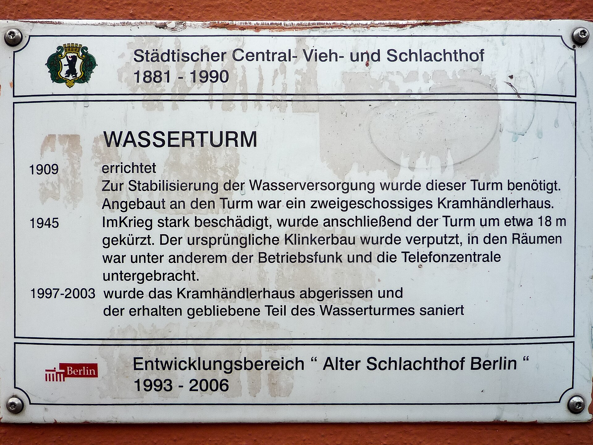
Alter Schlachthof Berlin: the hidden history of the central abattoir
The story of Berlin’s Alter Schlachthof (Zentralvieh- und Schlachthof) in Friedrichshain – from its 1881 opening to today’s neighbourhood, and how to read its industrial traces on a walking tour.
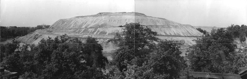
Mont Klamott: the buried WWII bunkers of Volkspark Friedrichshain
How two demolished flak bunkers became the Großer and Kleiner Bunkerberg – the artificial hills nicknamed Mont Klamott – in Berlin’s oldest public park, and what still lies beneath.